For all the fact that I now live in a flat over looking Leeds Rail Station, next to the north bank of the River Aire, I’m lucky.
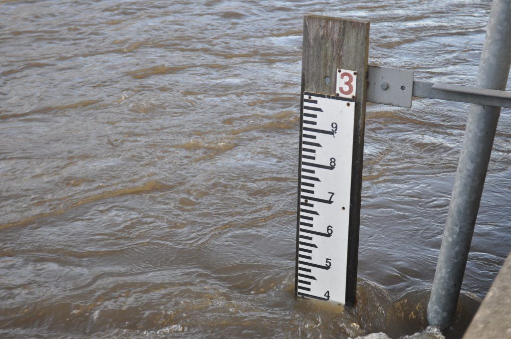
Some time ago I realised that the flooding height on my side of the river was 3 metres. Once the river comes out on the other side of the station it’s nearer 2 metres. There’s a webcam for LSSE which makes the point; my photo shows the river level at 2.4m, at which time the scaffolding in front of LSSE was getting slightly damp.
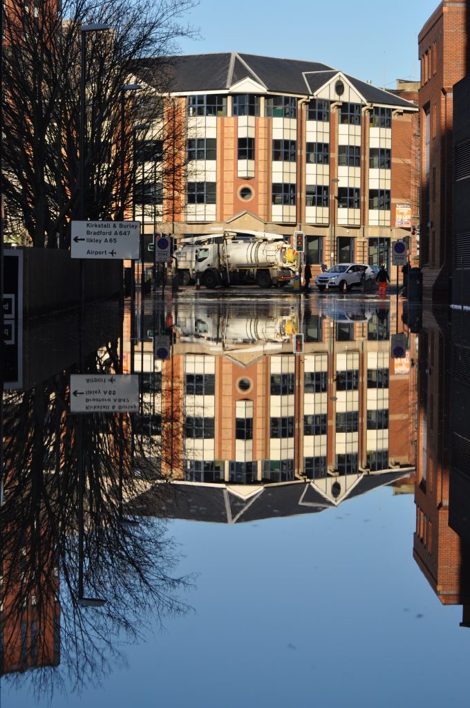
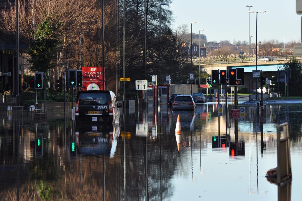
For the river here to flood, Kirkstall would have to be under water. It was 2.4m on Boxing Day evening and probably rose a bit higher – but then river burst its banks at Kirkstall and the water flowed along Kirkstall Road and Wellington Street instead, so it never got high enough to be a danger here.
The point is, everyone knows that Kirkstall is liable to flood. It’s the lowest point between Horsforth and Leeds city centre, and the floor of the valley is where the river, railway line and Leeds and Liverpool Canal all run. So why hasn’t anything been done about it before? When you think about the cost of the clean-up, the insurance claims, the loss of income for business and revenue for bus & train operators – surely now is the time to do something?
It’s not simply a matter of building higher defences – that just creates a faster-flowing river. Effectively, a second river was created along Kirkstall Road for a couple of days; perhaps a secondary ‘river’, a storm drain and reservoir, is what’s needed? Something to divert and / or hold on to water at peak times, then release it downriver as the river level drops? Same applies to places like Hebden Bridge, Walsden and Mytholmroyd; store, then release.
Of course, all these things cost. But we do have a new National Infrastructure Commission. I suggest that these are the things it should be looking at, not just HS2.


